
Summer’s here and the livin’ is easy. It’s also hot and humid. Definitely time to get your feet — not to mention the rest of your body — nice and wet. To this end, we’ve scouted five bodies of water within easy driving distance of Columbia where you can chill out and cool off.
Lake of the Ozarks
In mid-Missouri, when people say they are going “to the lake,” it usually means the Lake of the Ozarks. This sprawling lake — it covers 54,000 acres and runs 92 miles from end to end — boasts nearly 1,375 miles of meandering shoreline. The lake was created by the construction of Bagnell Dam on the Osage River in 1930 by Union Electric (now Ameren).
A great way to learn about the history of the dam and the communities that were affected by its construction is by browsing the exhibits at Willmore Lodge, just north of the dam. This historic building, which is on the National Register of Historic Places, once I , I served as a getaway for UE executives. Today, it houses the Bagnell Dam History Museum as well as the Lake of the Ozarks Visitor’s Center and the Lake Area Chamber of Commerce.
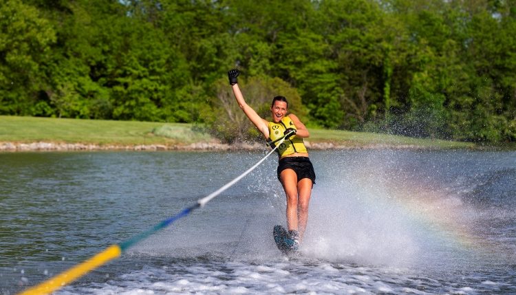
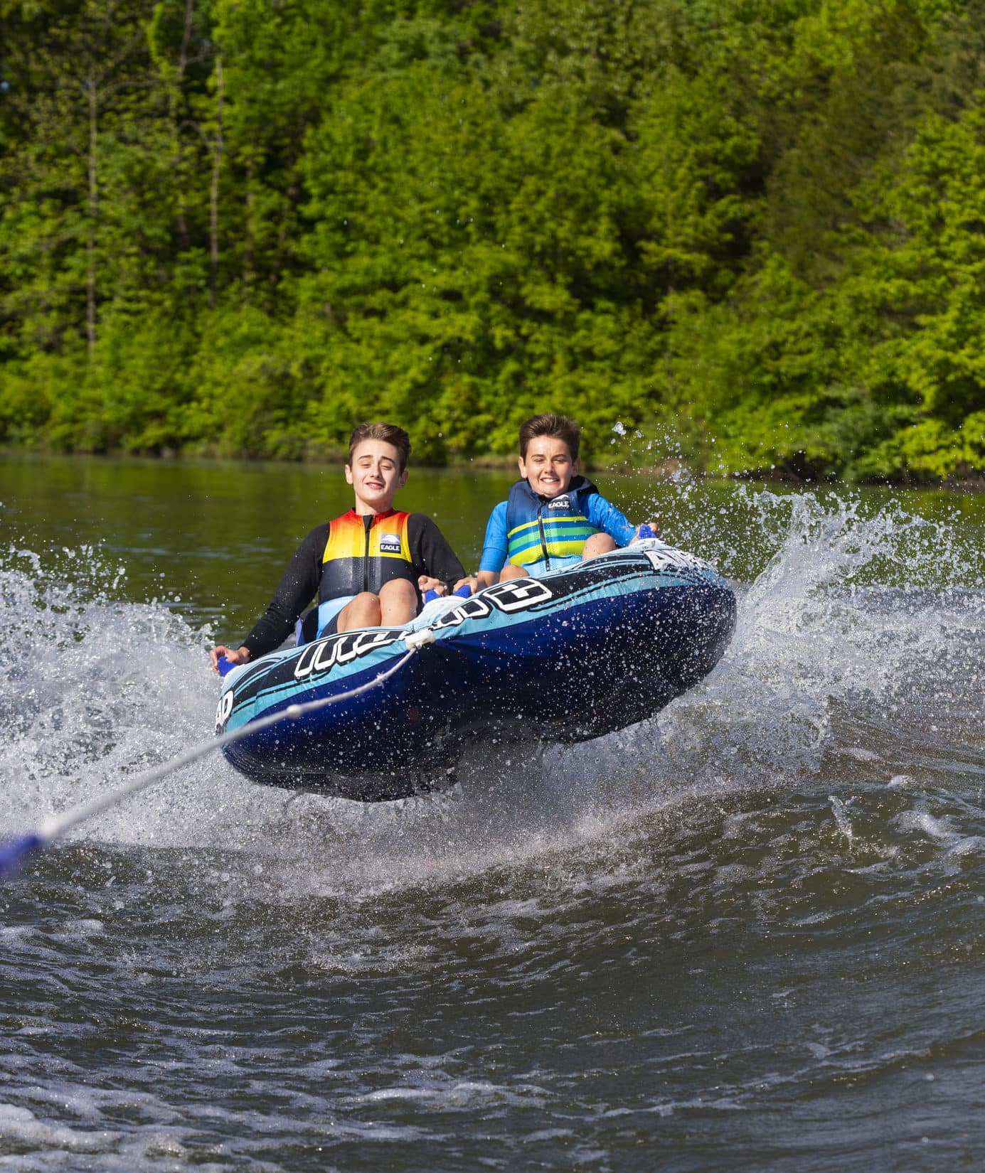
The lake offers many ways to get your feet wet. Swimming, skiing, jet-skiing, boating, canoeing, kayaking, fishing — just about anything you do on water, you can do on the lake. Two particularly appealing places to explore the lake are its two state parks – Ha Ha Tonka State Park and Lake of the Ozarks State Park.
Although the main portion of the lake can be crowded with big boats, especially on weekends, the coves and branches offer peace and tranquility and some spectacular scenery. Such is the case with the aquatic trail at Lake of the Ozarks State Park, designed for boats, canoes or kayaks. This nine-mile water trail has 14 stops that indicate unusual natural features along the shore. Each stop is marked by a buoy. Before you hit the water, stop by the park office to pick up a copy of a free booklet describing the trail highlights.
Many people think of the “castle,” the haunting stone ruins of a mansion that burned in 1942, when they think of Ha Ha Tonka. But the real jewel of the park is the stunning spring at the foot of the bluff that pours 48 million gallons of water into the Niangua Arm of the lake daily. The karst topography around the spring includes natural bridges, sink holes, caves and a balanced rock. Kayaking clinics and outings are offered frequently in the summer.
For an interesting side trip from the lake, and another chance to wet your feet, drive east on Highway 42 to Brumley, then south on Swinging Bridges Road. (Lake Road 42-18). There you will find two swinging bridges, 1,000 feet apart, both still in use for vehicular traffic.
The wire suspension bridges were built in the early 1900s by Joseph A. Dice, a self-taught engineer who did not use blueprints to build any of his 31 wire suspension bridges.
The longest of these two is the Grand Auglaize bridge over the Grand Auglaize Creek. The length of the structure is 500 feet, and the length of the span (wooden plank section) is 414 feet. Down the road, you’ll find Mill Creek Swinging Bridge, over Mill Creek. It has a structure length of 135 feet and a span of 95 feet.
Even if you can’t muster the courage to drive across these bridges, you’ll enjoy exploring them on foot.
For more information, visit www.FunLake.com.
Finger Lakes State Park
Close to home, yet far away. At Finger Lakes State Park, you’ll feel like you’re on vacation when you’re really just a short drive north of Columbia. And it is a super place to get your feet wet.
The park is a brilliant example of the successful transformation of a former coal strip-mining operation into a popular recreation area. The Peabody Coal Company mined the area from 1964 to 1967, removing more than 1.2 million tons of coal. The company replanted and reseeded much of the mined acreage and also stocked several fishing lakes, but the rugged mining terrain remained. In 1974, as part of the U.S. Department of the Interior’s reclamation-for-recreation program, Peabody donated 1,026 acres to the state park system and the state received a federal grant to demonstrate the use of strip-mined land for recreational purposes. The result is today’s Finger Lakes State Park.
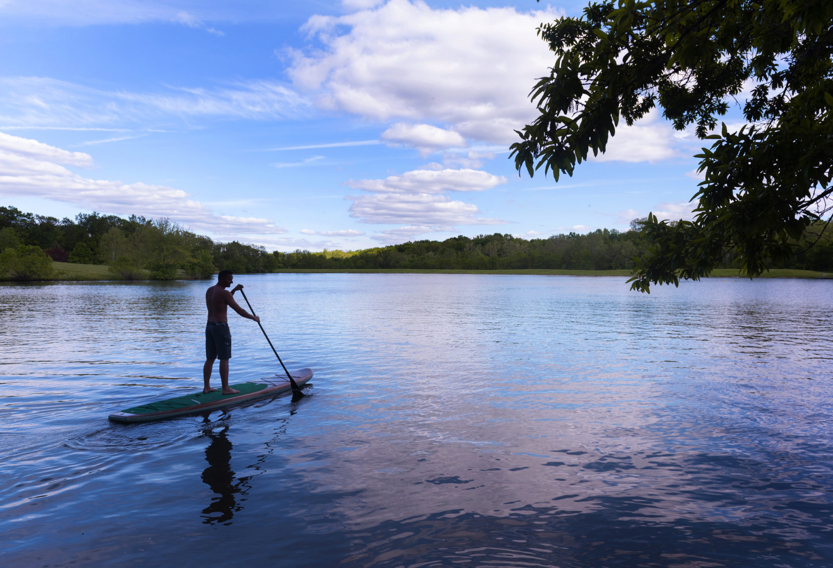
The numerous finger-shaped lakes allow for all sorts of water-related activities, including swimming, paddling, scuba diving and fishing. Almost a dozen small lakes were joined by a series of dams and canals, resulting in a long, narrow ribbon of water that runs along the eastern edge of the park. This one and one-half mile long water trail is ideal for kayaking and canoeing.
If swimming is your preference, there’s a sand beach, complete with a changing house. You’ll find fishing holes scattered throughout the park. Paddling clinics and youth fishing days are held annually.
Be forewarned that there are more than 70 miles of off-road motorcycle and all-terrain vehicle trails in the park, and there are frequent motocross and motorcycle events, so there could be a lot of noise in the trail areas.
The park also offers picnic and camping areas, hiking and mountain biking trails, modern restrooms and hot showers.
For more information, visit www.mostateparks.com.
Truman Lake
Both Truman Lake and the Lake of the Ozarks were created by impounding the Osage River, but that’s where the similarities end. Bagnell Dam at the Lake of the Ozarks was privately built, while the Harry S Truman Dam was built by the U.S. Army Corps of Engineers. The shoreline of the Lake of the Ozarks is highly developed, while the shoreline at Truman Lake (or Reservoir) remains largely natural. The Lake of the Ozarks has a reputation as a party lake, while Truman is better known as a quiet lake. Each lake has its fans; it’s a matter of personal preference. You can get your feet wet in either one.
The Harry S Truman Dam was completed in 1979 for the purposes of flood control, hydroelectric power and recreation. Truman Lake is the largest flood control lake in Missouri. At normal pool, the lake covers 56,000 acres, but when the lake is at the height of flood control, it can increase to 200,000 acres, spreading into four counties. Truman Lake releases flood waters into the Lake of the Ozarks.
A must-do while in Warsaw is a walk across the restored Swinging Bridge, one of five remaining swinging bridges built by self-taught engineer Joe Dice, and the last of three “swingers” in the Warsaw area. (Two of the Dice bridges are near the Lake of the Ozarks; see that section of this article.)
Often referred to as the Upper Bridge because it was the northernmost of the 15 swinging bridges that once crossed the Osage River, the 1904 bridge was placed on the National Register of Historic Places in 1999.
Harry S Truman State Park is on a peninsula that juts into the lake. Surrounded by water on three sides, the park is the ideal place to get your feet wet. It offers swimming, boating, fishing and water skiing, as well as camping, nature study and picnic sites.
The park’s sand beach provides swimming access to the lake, along with changing houses and restrooms. There’s a fully equipped marina, several boat launches and plenty of parking for cars, trucks and boat trailers. Whether fishing from a boat or the shore, anglers of all skill levels will enjoy trying their luck for crappie, bass and catfish.
For more information, visit www.welcometowarsaw.com.
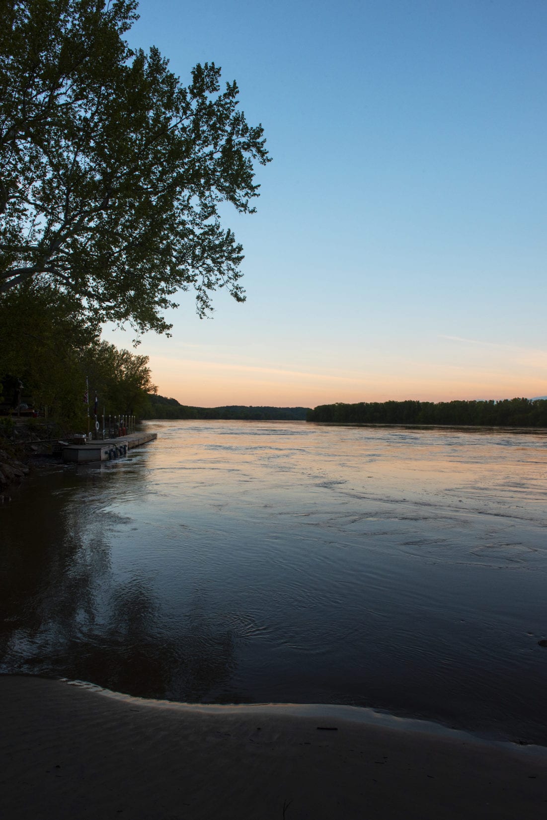
Missouri River
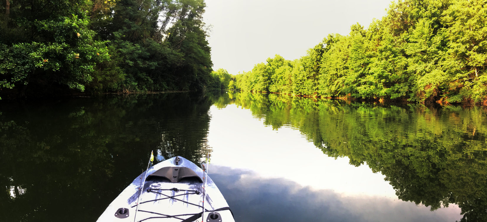
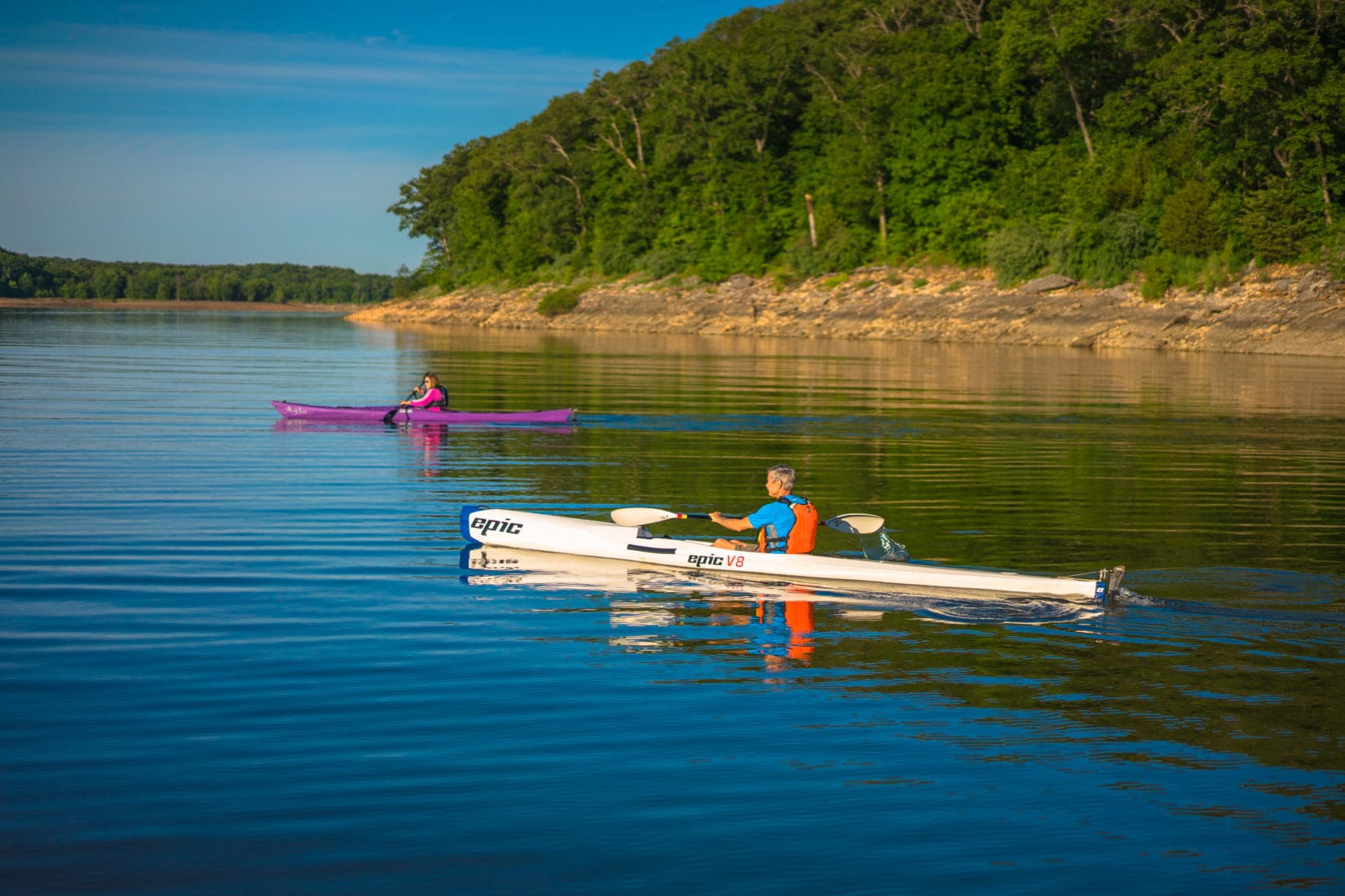
Hiding in plain sight. That is what you could say about the Missouri River. It is practically in Columbia’s backyard, yet few people think of it as a recreation destination, considering it too big and too dangerous. What a pity, for the Missouri River is ideal for fishing, boating and even kayaking and canoeing. At 2,341 miles, it’s the longest river in North America (The Mississippi River is second, at 2,202 miles.), and it is right next door, so take advantage of it as a place to wet your feet.
If you need help getting started, consider a float trip with Brett Dufur of Mighty MO Canoe Rental in nearby Rocheport. He offers guided float trips every Saturday from May through October. The 6.6-mile trip from Rocheport to Huntsdale passes the Manitou Bluffs, one of the most photographed places along the river.
Another great way for paddlers, both novice and experienced, to explore the Missouri is with PaddleMO, a five-day, 100-mile journey down the last 100 miles of the Missouri River, from Hermann to the confluence with the Mississippi River. The trip, organized by Stream Team United and a large group of partner organizations, focuses on the natural resources of the river, as well as its historical and cultural aspects. The food on the trip is outstanding – no instant oatmeal or freeze-dried meals for this group. The dates for this year’s PaddleMO are Sept. 21-25.
There’s also the Missouri River 340, or MR340, an endurance race for paddlers. The world’s longest nonstop river race, the MR340 sets a limit of 88 hours to finish the course, which runs from Kansas City to St. Charles. This is no picnic; this is a serious competition that is not without risks. But even if you’re not ready for competitive paddling, you can follow the MR340 on Facebook or via race tracking on its website. This year’s event is July 16-19.
Of course, you can enjoy the river without an organized event. Fishermen and boaters have long known that the Big Muddy is the Mighty MO, indeed.
For more information, visit www.mighty-mo.com, www.paddlemo.org, and www.rivermiles.com.
Mark Twain Lake
Although Mark Twain never saw this lake, his birthplace is right along its shore. At the time he was born, as Samuel Langhorne Clemens, the area was the Salt River valley. It wasn’t until the U.S. Army Corps of Engineers constructed the Clarence Cannon Dam on the Salt River that Mark Twain Lake was created; it opened to the public in 1984.
Fishing, boating, water skiing and swimming are popular, as are camping, trail riding, hiking and hunting. The lake is known for crappie, bass and catfish.
The M.W. Boudreaux Memorial Visitor’s Center near the dam offers stunning lake views as well as exhibits about the dam and lake, picnic sites and a walking trail.
Mark Twain State Park and Mark Twain Birthplace State Historic Site are on the west side of the lake. The two-room cabin where Clemens was born in 1835 in the nearby community of Florida was moved about one-fourth mile south to its current protected home inside the memorial shrine and museum. (A red granite monument on Mill Street in Florida marks the original site of the cabin.) Perhaps the most memorable item in the museum, apart from the cabin itself, is the original, hand-written manuscript of The Adventures of Tom Sawyer.
The 2,775-acre Mark Twain State Park offers a campground, picnic sites, shelters, overlooks and hiking trails.
The lake is about 20 miles southwest of Hannibal, the town on the Mississippi River where Clemens spent his childhood, and an ideal destination to add to your wet-feet itinerary.
For more information, visit www.visitmarktwainlake.org.
